Japan eSIM for Rural Travel: Coverage Beyond Tokyo and Osaka
Which networks cover Japan’s rural trails, islands and mountain routes - and how to prepare for areas without mobile signal
The Kumano Kodo is about three hours from Osaka. You can be on a train from Kansai Airport in the morning and walking a forested mountain pass by mid-afternoon with no signal at all, in a country famous for having some of the best mobile coverage in the world. That's a different experience from the connectivity most visitors encounter in Tokyo or Osaka.
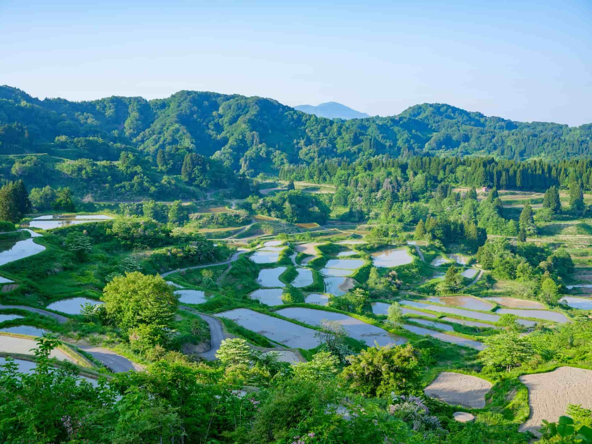
KDDI’s own figures explain why: its au network covers more than 99.9% of Japan’s population, but approximately 60% of its geographic area. One measures where people live; the other measures how much land the network reaches. For travellers heading into mountains, rural trails and remote islands, that distinction matters.

Docomo, au, SoftBank and Rakuten: Which Network Reaches Rural Japan
Most comparisons rank Japanese operators on download speed. For a rural trip, download trip doesn’t tell the full story. Coverage and connection consistency are more useful considerations.
- Coverage Experience measures geographic reach in populated areas.
- Consistent Quality measures how often a connection is actually good enough for demanding tasks, rather than how fast it gets at its best.
On a trail, a connection that holds beats one that occasionally peaks. Opensignal's April 2026 Japan report splits those two awards between different operators:
- NTT Docomo retains both Coverage Experience and 5G Coverage Experience, with the widest geographic footprint in populated areas of any Japanese operator.
- au (KDDI) wins Consistent Quality and takes Reliability Experience for the fourth consecutive report with 967 points out of 1000. It's also the operator behind Japan's satellite service.
- SoftBank leads Download Speed Experience and Time on 5G.
- Rakuten Mobile wins both upload speed categories and is improving its 5G footprint.
Overall, Docomo and au are useful starting points when comparing network for rural travel. However, national coverage and reliability scores don't guarantee connectivity along a particular hiking route, so checking the operator's coverage map remains important.
Which Network Does Your Japan eSIM Actually Use?
Whichever provider you buy from, your data runs on a Japanese operator's network. The underlying network becomes particularly important when travelling outside major cities.
- Before you buy, look for the network named on the plan page. Reputable providers state it. If a plan page doesn't say which network it runs on, that absence is itself worth noticing - it's the single most relevant specification for rural travel.
- After you install, your network settings will show which operator you're actually connected to once the eSIM is active in Japan.
- Some multi-network plans support more than one local operator, providing additional coverage options. What they don't do is guarantee good coverage everywhere, a plan that can access two networks still can't reach a valley neither of them covers.
Nomad eSIM 's Japan plans run on au (KDDI) and SoftBank. That's worth knowing that au is one of the two strongest networks for rural travel. Before purchasing, check the networks available on your selected plan and compare their coverage maps against your rural itinerary.

Where Rural Travellers Should Plan for Coverage Gaps
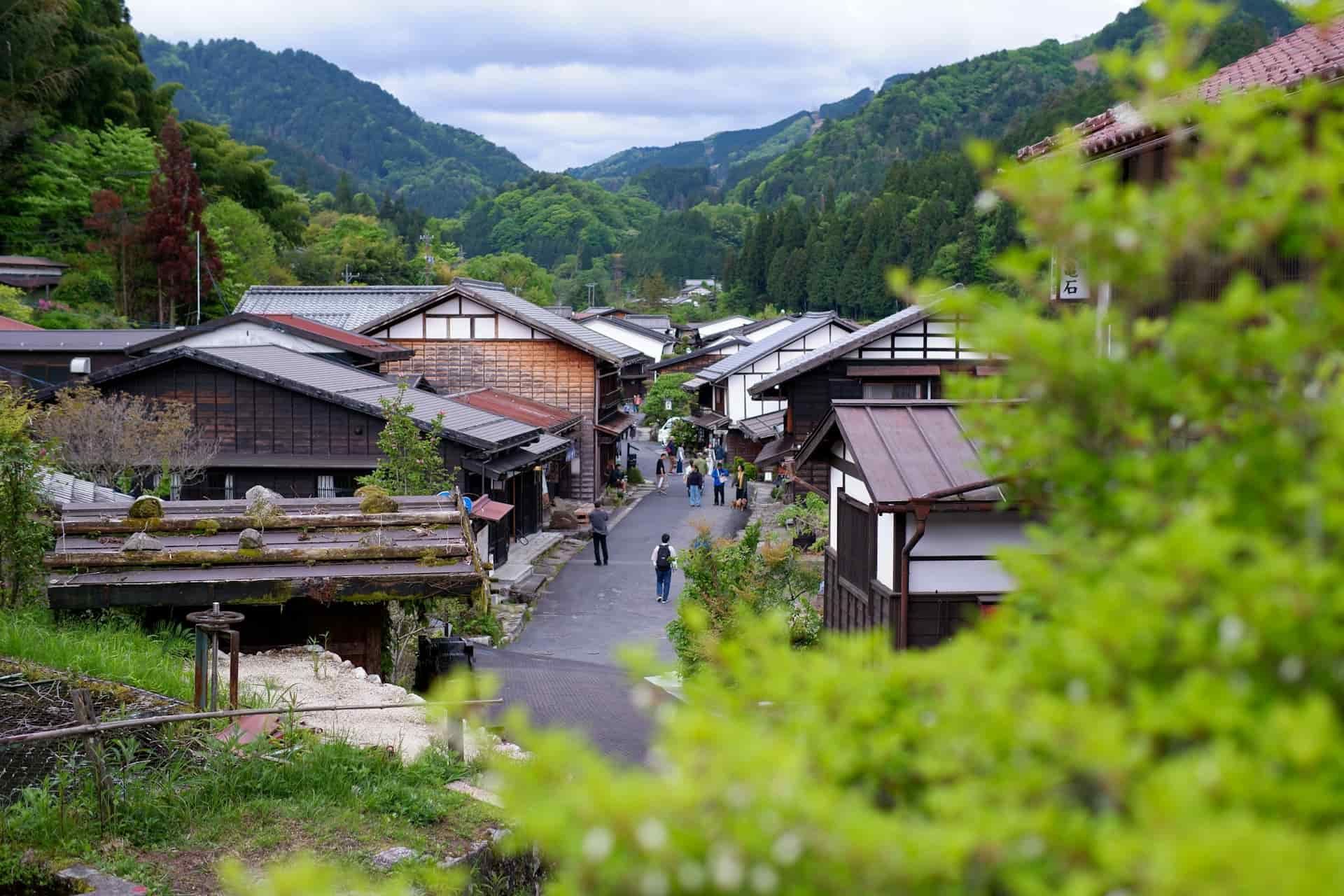
When KDDI describes the areas its satellite service was built to reach, it names mountainous areas, islands, campgrounds and at sea. That's a fair summary of where the towers don't go.
What follows is where that plays out. For any specific route, check your operator's coverage map against the actual place names on your itinerary rather than the nearest town.
Pilgrimage routes: Kumano Kodo and Shikoku Henro
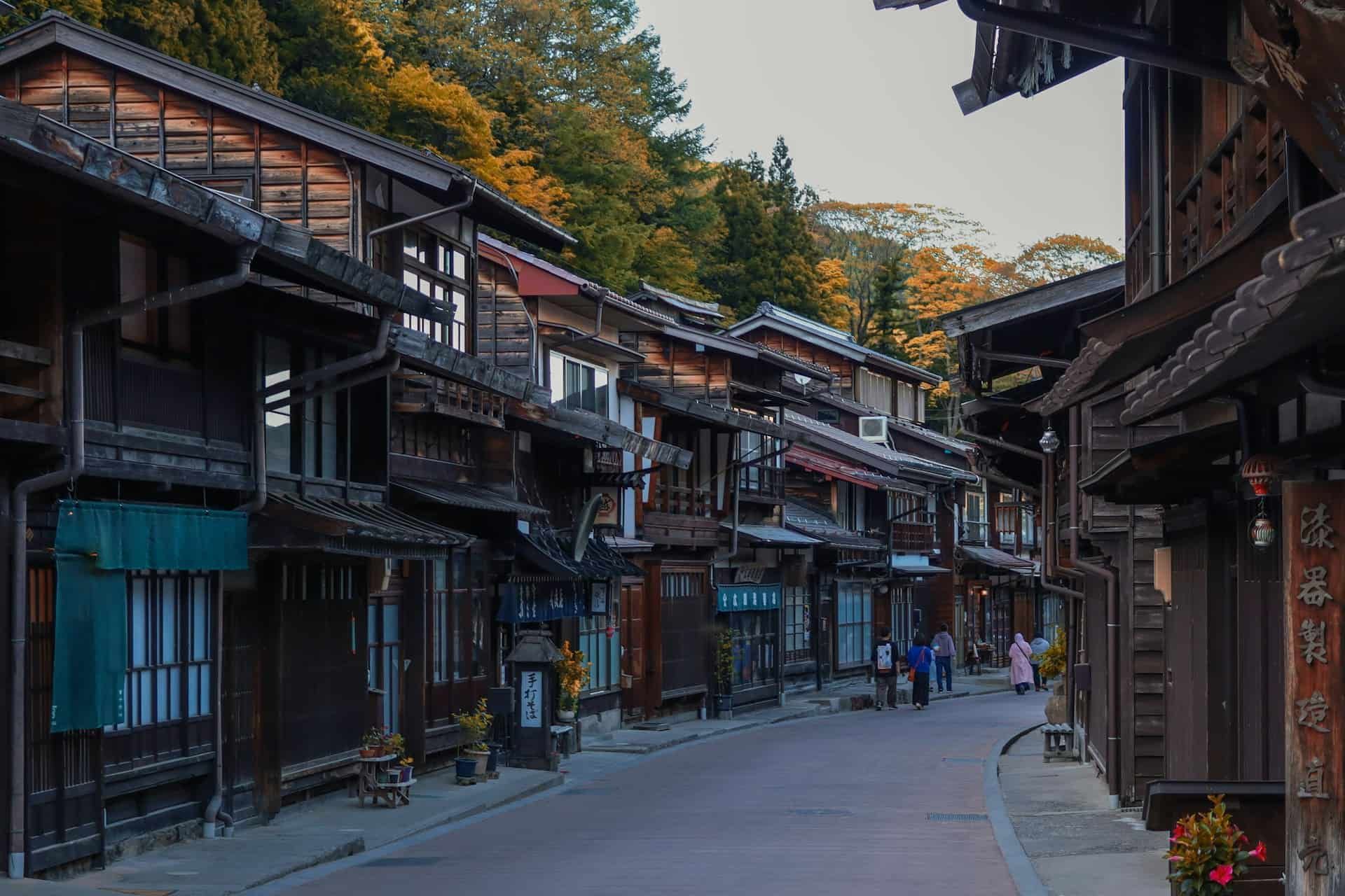
These routes aren't remote in the way most people picture it. The Kumano Kodo sits a few hours from Osaka, and parts of the Shikoku pilgrimage pass through ordinary towns.
What makes them a coverage question is what they cross - forested valleys and mountain passes, precisely the terrain KDDI points to when explaining where its network thins. The pattern follows the landscape rather than the distance from a city, so check your route stage by stage rather than assuming it behaves uniformly.
One practical note: if you're staying in smaller guesthouses along the route, check whether Wi-Fi is available rather than assuming it will provide a backup.
Mountains and national parks
The same logic covers Hokkaido, Tohoku and the Japanese Alps. Mountainous terrain is the first thing on KDDI's own list.
This is also where coverage stops being about convenience. Weather conditions can change quickly in mountainous areas, making it important to plan your route and emergency communications before setting out. Decide your communications before you start walking: tell someone your route and expected return.
Islands: Yakushima, Sado and the Goto Islands
For islands such as Yakushima, Sado and the Goto Islands, check coverage separately for your arrival port, accommodation and planned hiking routes. Coverage in a main settlement doesn't necessarily reflect conditions elsewhere on the island, particularly in mountainous areas.
au Starlink Direct: Satellite Coverage for the Other 40%
In April 2025, KDDI launched au Starlink Direct - Japan's first direct-to-cell satellite service, built specifically to cover the ground its towers don't reach. The company frames it in exactly those terms: mountainous areas, islands, campgrounds and at sea. It's a limited service by design, not a replacement for cellular data. It carries text messaging, location sharing, and earthquake and tsunami alerts. It needs a clear view of the sky, and messages take longer than they would on a normal connection. There's no browsing, no calls, no maps.
Important to note: it's an au subscriber service. A travel eSIM roaming onto au's network is not the same as holding an au plan, and satellite is where that distinction has consequences.
What works regardless of carrier is your phone's own satellite SOS. On iPhone 14 or later running iOS 17.6 or later, Emergency SOS via satellite is available in Japan and connects to 110, 118 and 119 with no cellular signal at all, independently of your plan or provider. It's emergency-only, not data, not messaging your guesthouse to say you're running late but it's the one satellite function a traveller on any plan can rely on. Check whether your model supports it before you go.
Before You Go: Offline Maps, Alerts and Backup
All of this happens while you still have a connection.
- Download offline maps and routes for every area you'll be walking, not just the region.
- Save accommodation addresses and booking details offline in Japanese as well as English.
- Save transport information, particularly the last available bus or train from your planned finishing point.
- Carry a power bank. Navigation, photos and cold weather all drain batteries faster than you'd plan for.
- Don't treat a travel eSIM as an emergency communication device.
- Understand your phone's satellite emergency functionality before you rely on it - whether your model supports it, how to trigger it, and what it does and doesn't send.
- Share your planned route and expected return time with someone before setting out, particularly for longer or more remote hikes.

Frequently Asked Questions
Which network has the best coverage in rural Japan?
NTT Docomo is a strong choice for rural Japan, leading Opensignal's April 2026 Coverage Experience rankings for geographic coverage in populated areas. au (KDDI) is another option, leading in Reliability Experience and Consistent Quality. However, coverage varies by location, so check the operator's coverage map against your specific itinerary before choosing a Japan eSIM.
Will my eSIM work on the Kumano Kodo?
Yes, a Japan eSIM can work on the Kumano Kodo, but continuous coverage is not guaranteed. Signal availability depends on your route and the Japanese mobile network your eSIM uses. Check coverage for your planned trail sections and download offline maps before hiking.
Does Japan really have bad rural coverage?
Japan has extensive mobile coverage, but some rural and mountainous areas remain outside terrestrial network coverage. For example, KDDI reports that its au network covers more than 99.9% of Japan's population but approximately 60% of its geographic area. This means high population coverage does not guarantee mobile signal on remote trails, mountains or islands.
What should I do if I have no signal and need help?
If you have no mobile signal in rural Japan, a compatible phone's satellite emergency feature may allow you to contact emergency services without cellular coverage. Availability depends on your device, location and service conditions. Before hiking, check your phone's emergency features, download offline maps and share your route with someone. A travel eSIM cannot provide connectivity where its supported mobile networks have no coverage.